

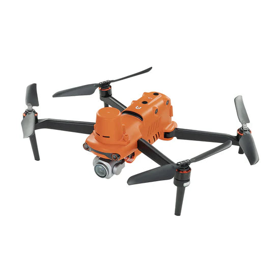
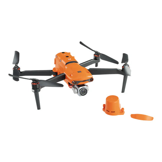
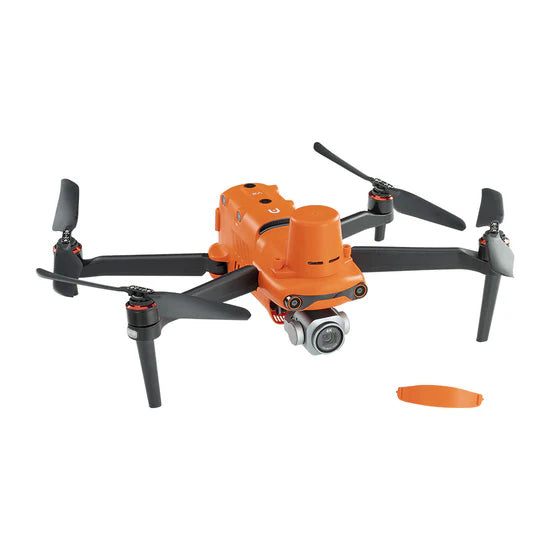
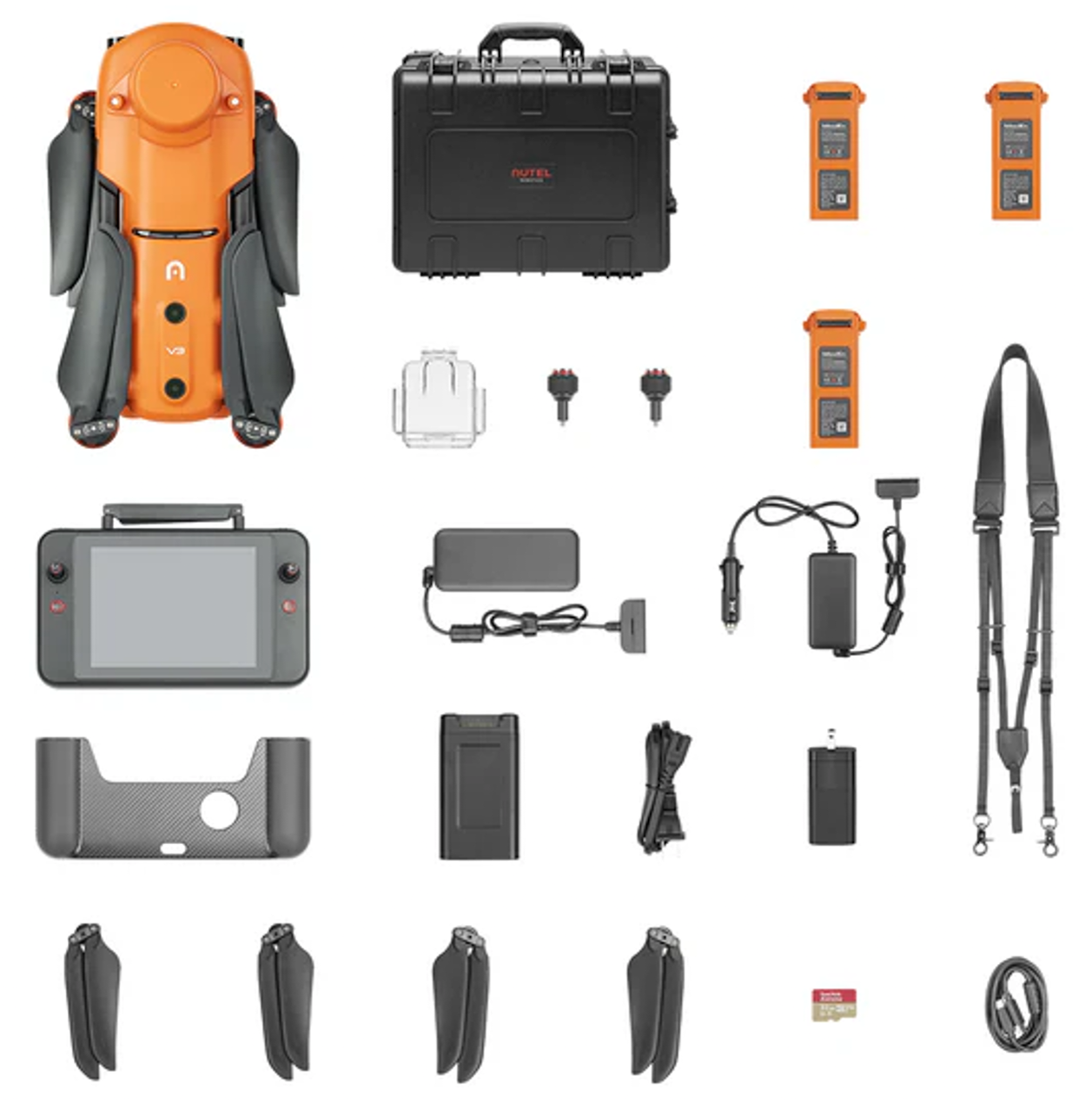

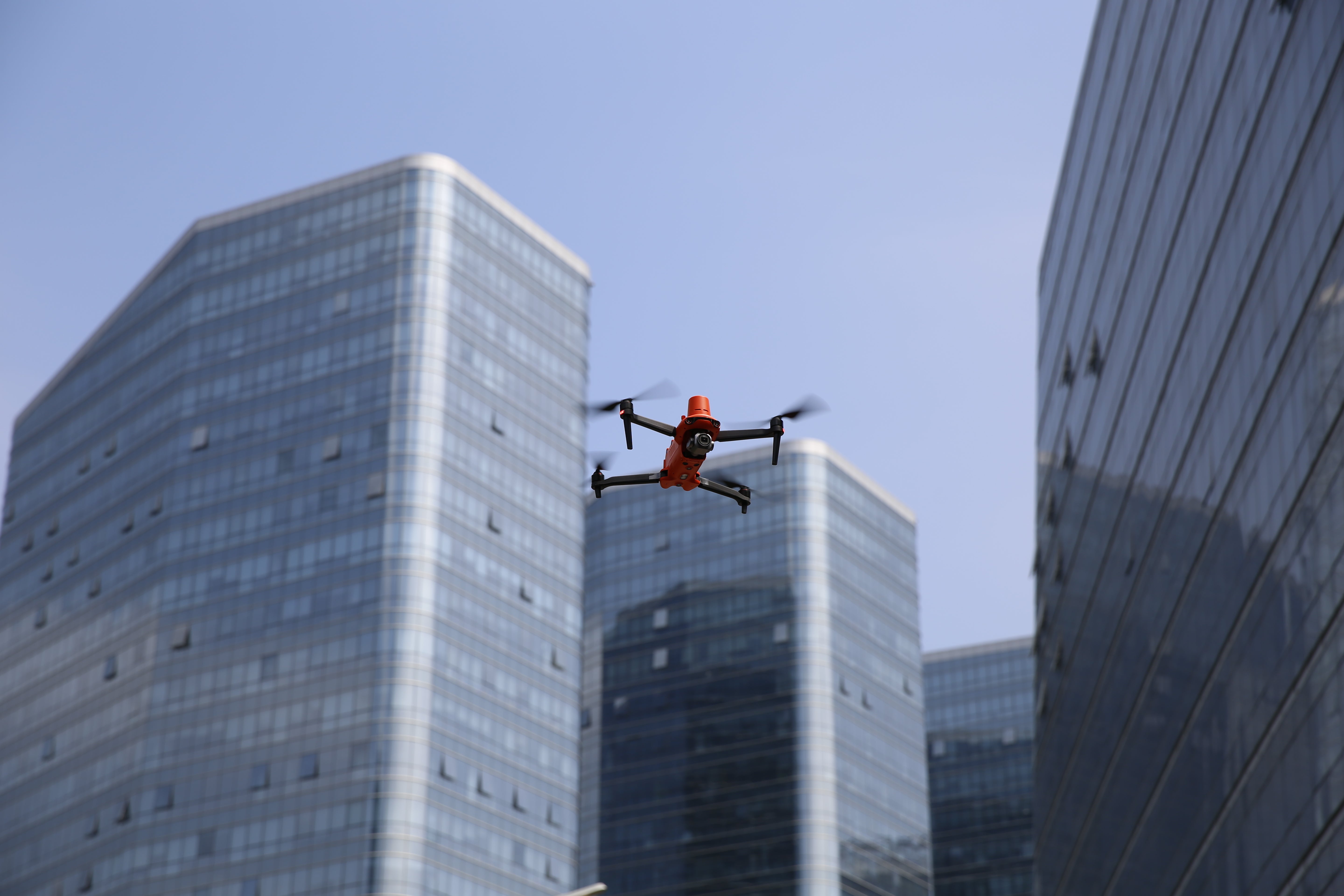


Autel EVO II Pro 6K RTK Drone Rugged Bundle V3
Autel EVO II Pro 6K RTK Rugged Bundle V3 – Precision Mapping Drone for Contractors
Accurate Site Data. Better Planning. Fewer Mistakes.
The EVO II Pro 6K RTK is built for contractors who need reliable, high-accuracy data before starting a job.
Capture precise site measurements, improve layout planning, and reduce costly errors before installation begins.
What It’s Built For
-
Site measurement and layout planning
-
Grading and elevation awareness
-
Material estimation and project planning
-
Mapping and pre-construction analysis
RTK Accuracy
The integrated RTK system delivers centimeter-level positioning, allowing you to collect consistent, accurate data directly from your drone flights.
-
High-accuracy positioning without manual measurement
-
Compatible with RTK networks (NTRIP)
-
Reduces the need for ground control points in many workflows
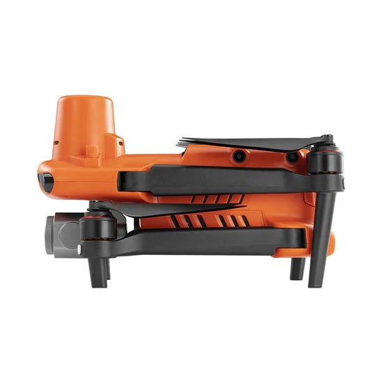
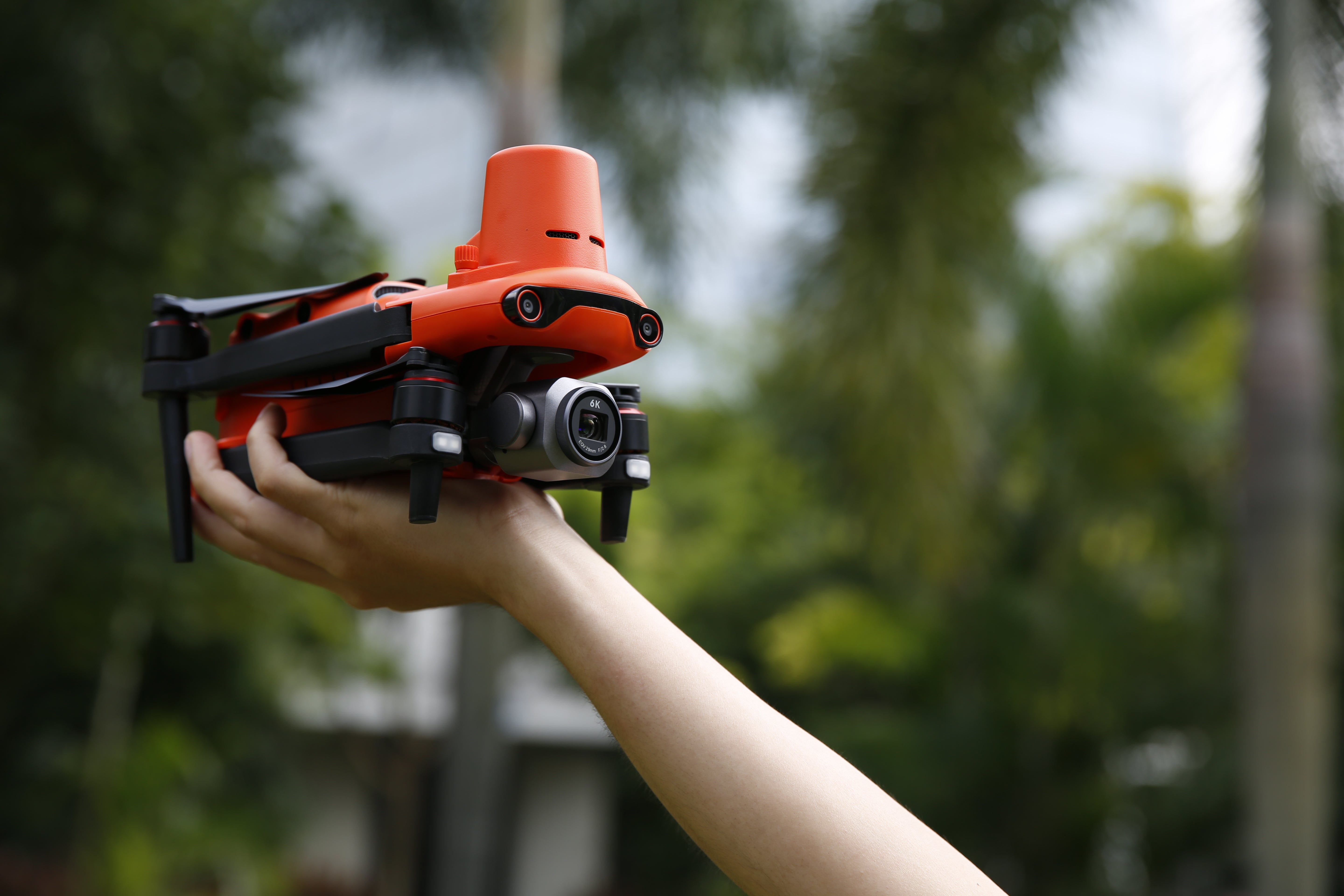
Imaging and Flight Performance
-
6K Ultra HD camera with 1” sensor
-
20MP still image capability
-
Adjustable aperture (f/2.8–f/11)
-
Up to 38 minutes flight time
-
360° obstacle avoidance
Mapping Workflow
Pair with mapping software such as Autel Mapper to:
-
Generate 2D maps and 3D models
-
Capture and analyze full job site data
-
Improve planning, communication, and execution
Add Autel Mapper to unlock full mapping capability
Key Features
-
RTK-enabled centimeter-level accuracy
-
Repeatable flight paths for consistent data capture
-
Multi-battery mission support
-
Rugged bundle for field use
-
Stable flight performance in demanding conditions
Who This Is For
-
Landscape contractors
-
Hardscape and grading crews
-
Construction professionals
-
Property and land developers
Alternative Option
If you do not need high-accuracy measurement, view the standard EVO II Pro 6K version.
Choose options
